1
Find a reference map
Use a survey, plat map, county GIS parcel map, assessor record, or seller-provided boundary reference before tracing.
Free property-line overlay tool
Upload an aerial, drone, satellite, or listing photo and manually trace the approximate lot boundary from a survey, plat, or GIS reference. This is a photo overlay editor—not an address or parcel lookup.
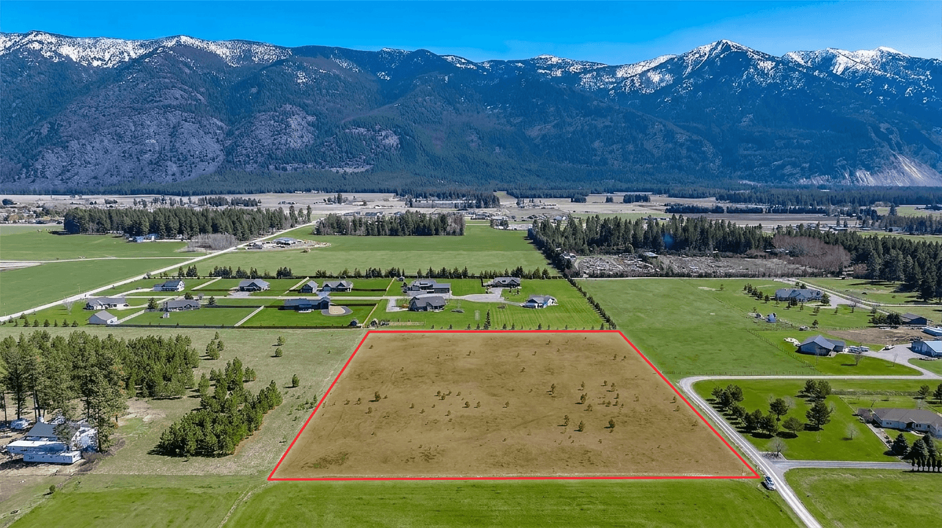
This creates a marketing visual, not a survey. Use county GIS, parcel records, or a licensed surveyor when exact legal boundary accuracy matters.
Start with a survey, parcel map, plat map, or county GIS record you trust. Then use visible roads, fences, tree lines, field edges, and survey markers to place the approximate boundary on the photo. The closer your photo is to a straight-down view, the easier it is to match the reference accurately.
Use a survey, plat map, county GIS parcel map, assessor record, or seller-provided boundary reference before tracing.
Choose a clear aerial, drone, satellite, or listing photo where the full parcel and nearby landmarks are visible.
Zoom in for fine detail, click points around the lot lines, close the shape, then drag or insert points to align with roads, fences, tree lines, or field edges.
Optionally shade, annotate, or crop the image, then download a clean JPG by default or choose PNG for your listing, ad, brochure, seller report, or social post.
Use a parcel map, plat map, survey, or county GIS record as your reference. This tool helps turn that information into a clear photo overlay for buyers.
Zoom into roads, fences, tree lines, field edges, and survey markers. Add detail points where the boundary bends so the overlay follows the parcel cleanly.
Use boundary overlays as marketing visuals, then disclose that exact legal boundaries should be confirmed through a survey or official parcel records.
This is not an address lookup or legal survey tool. It is a fast photo editor for agents, land sellers, and marketers who already have a boundary reference and need a clear listing image. Start with the best available source, then draw the overlay on the photo you want buyers to see.
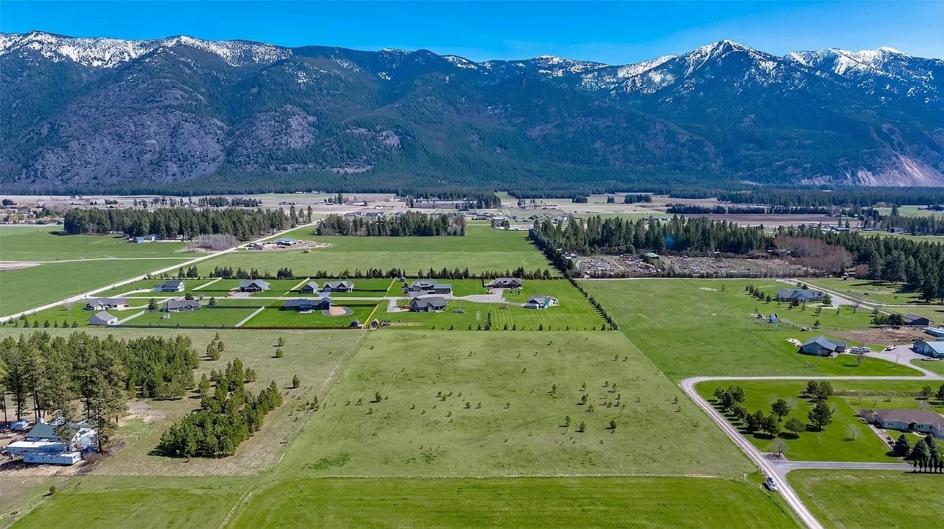
No. This free tool creates approximate visual boundary overlays for marketing, listing prep, and buyer orientation. It is not a legal survey, title report, plat, appraisal, property report, or official parcel map.
The overlay is only as accurate as the source information you use. For exact boundaries, verify with a licensed surveyor, county GIS records, assessor parcel maps, plat maps, deeds, or other official records.
No. Listing Wand does not look up parcel boundaries by address. Use a county GIS site, assessor map, survey, or plat map to find the parcel shape, then use this page to draw a clean marketing overlay on a photo.
You can upload common image files, including screenshots, if you have the right to use them. For listing media, many agents start with a drone photo or approved listing photo, then trace the boundary from official parcel records.
Many agents use approximate property-line or lot-line visuals in listing media, but rules vary by MLS, broker, and state. Follow local disclosure requirements and avoid presenting an overlay as a legal survey.
The browser editor accepts common image files such as JPG, PNG, and WebP. JPG is the default export for MLS use, and PNG remains available.
No. This tool runs in your browser. Uploaded photos are read locally and are not sent to Listing Wand servers by this page.
People often use these phrases interchangeably in real estate marketing. A legal boundary should come from official records or a survey, while a listing-photo overlay is a visual aid that helps buyers understand the approximate parcel shape.
Use Listing Wand when you want to turn a plain land photo into a development concept with a home, driveway, landscaping, or other listing-ready visual.
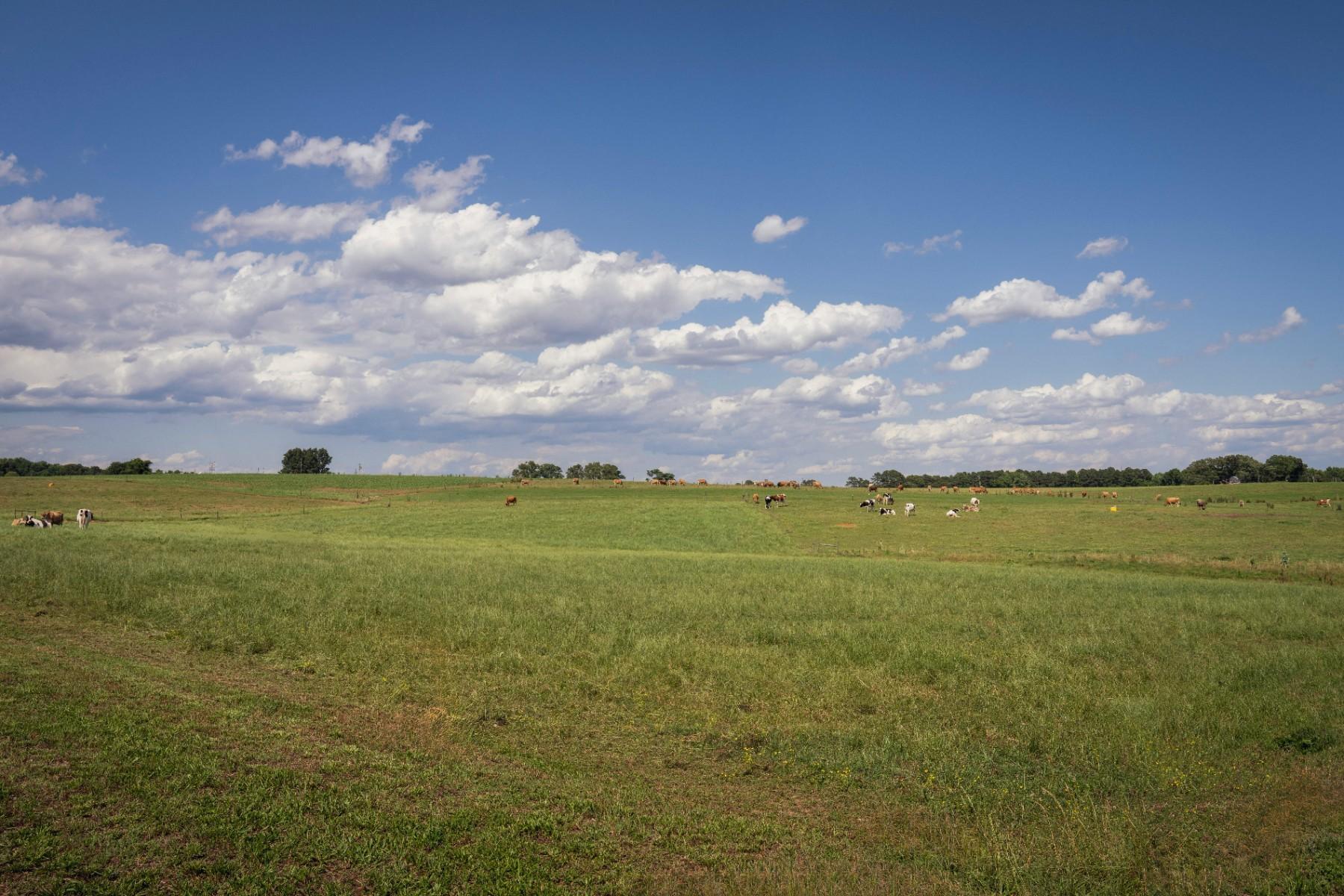 Original land photo
 AI concept visual